Boulder by the path, Halscombe
Introduction
The photograph on this page of Boulder by the path, Halscombe by Derek Harper as part of the Geograph project.
The Geograph project started in 2005 with the aim of publishing, organising and preserving representative images for every square kilometre of Great Britain, Ireland and the Isle of Man.

There are currently over 7.5m images from over 14,400 individuals and you can help contribute to the project by visiting https://www.geograph.org.uk
Boulder by the path, Halscombe
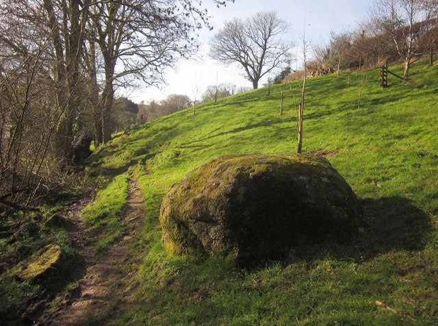
Image: © Derek Harper Taken: 2 Feb 2013
Moretonhampstead Footpath 25 runs down a narrow valley from Higher Halscombe Farm, passing this large boulder as it emerges from a little wood.
Images are licensed for reuse under creativecommons.org/licenses/by-sa/2.0
Image Location
Latitude
50.662938
Longitude
-3.75668