Mardon Down
Introduction
The photograph on this page of Mardon Down by Derek Harper as part of the Geograph project.
The Geograph project started in 2005 with the aim of publishing, organising and preserving representative images for every square kilometre of Great Britain, Ireland and the Isle of Man.

There are currently over 7.5m images from over 14,400 individuals and you can help contribute to the project by visiting https://www.geograph.org.uk
Mardon Down
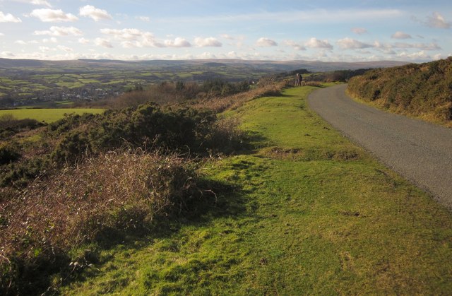
Image: © Derek Harper Taken: 2 Feb 2013
Looking in the other direction along the road shown in Image]; Moretonhampstead Bridleway 20 drops down from the road on this stretch. Way down below on the left is Moretonhampstead itself; in the distance is Dartmoor. We are about 5 km inside the National Park here, but it's another seven to the moor proper.
Images are licensed for reuse under creativecommons.org/licenses/by-sa/2.0
Image Location
Latitude
50.667435
Longitude
-3.744678