Shaggs
Introduction
The photograph on this page of Shaggs by Nigel Mykura as part of the Geograph project.
The Geograph project started in 2005 with the aim of publishing, organising and preserving representative images for every square kilometre of Great Britain, Ireland and the Isle of Man.

There are currently over 7.5m images from over 14,400 individuals and you can help contribute to the project by visiting https://www.geograph.org.uk
Shaggs
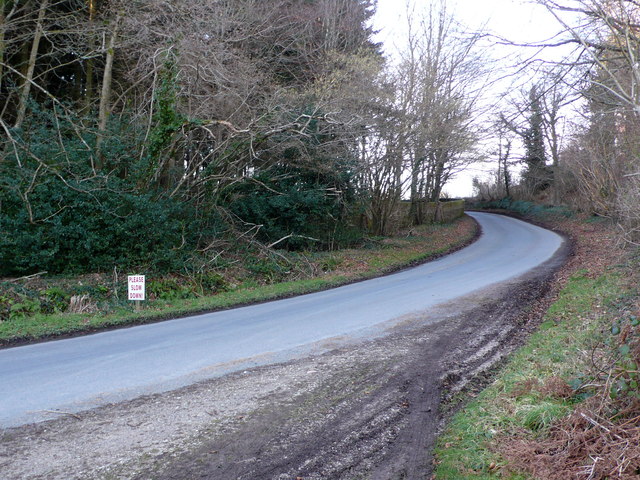
Image: © Nigel Mykura Taken: 2 Feb 2013
This is the minor road from East Lulworth to Coombe Keynes . Part of the brick wall surrounding the Lulworth Park can be seen to the rleft of the road.
Images are licensed for reuse under creativecommons.org/licenses/by-sa/2.0
Image Location


Leaflet Map data © OpenStreetMap
Latitude
50.650904
Longitude
-2.209151