Bourne End railway station
Introduction
The photograph on this page of Bourne End railway station by Nigel Thompson as part of the Geograph project.
The Geograph project started in 2005 with the aim of publishing, organising and preserving representative images for every square kilometre of Great Britain, Ireland and the Isle of Man.

There are currently over 7.5m images from over 14,400 individuals and you can help contribute to the project by visiting https://www.geograph.org.uk
Bourne End railway station
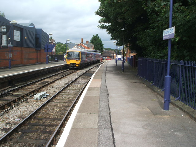
Image: © Nigel Thompson Taken: 12 Aug 2009
Opened in 1854 by the Wycombe Railway on what is now the branch line from Maidenhead to Marlow. View north east towards what is now the buffers but used to continue to High Wycombe.
Images are licensed for reuse under creativecommons.org/licenses/by-sa/2.0
Image Location
Latitude
51.577027
Longitude
-0.710563