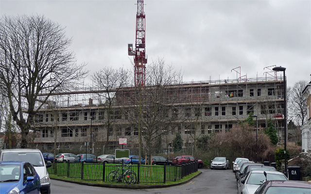
Development, Prioress Road
Introduction
The photograph on this page of Development, Prioress Road by Stephen Richards as part of the Geograph project.
The Geograph project started in 2005 with the aim of publishing, organising and preserving representative images for every square kilometre of Great Britain, Ireland and the Isle of Man.
There are currently over 7.5m images from over 14,400 individuals and you can help contribute to the project by visiting https://www.geograph.org.uk

Image: © Stephen Richards Taken: 6 Feb 2013
On a grey day it resembles offices of the Stasi, but this ugly duckling will transform itself into West Norwood's (swan-like?) leisure centre, housing a swimming pool, gym, dance studio, meeting rooms and GP surgery. It is being built on what was open space next to Norwood Hall, a nondescript, derelict post-war building (and itself a community hall) which has now been demolished. Between Bloom Grove, from where this photo was taken, and the leisure centre runs the railway. Swan phase: Image

