Russells Crescent
Introduction
The photograph on this page of Russells Crescent by Ian Capper as part of the Geograph project.
The Geograph project started in 2005 with the aim of publishing, organising and preserving representative images for every square kilometre of Great Britain, Ireland and the Isle of Man.

There are currently over 7.5m images from over 14,400 individuals and you can help contribute to the project by visiting https://www.geograph.org.uk
Russells Crescent
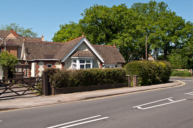
Image: © Ian Capper Taken: 27 May 2012
One of a pair of lodge-like buildings either side of the entrance to Russells Crescent, built presumably to add prestige to the development of the road (see Image for the other of the pair).
Images are licensed for reuse under creativecommons.org/licenses/by-sa/2.0
Image Location
Latitude
51.17002
Longitude
-0.167126