Waring Street
Introduction
The photograph on this page of Waring Street by Stephen Richards as part of the Geograph project.
The Geograph project started in 2005 with the aim of publishing, organising and preserving representative images for every square kilometre of Great Britain, Ireland and the Isle of Man.

There are currently over 7.5m images from over 14,400 individuals and you can help contribute to the project by visiting https://www.geograph.org.uk
Waring Street
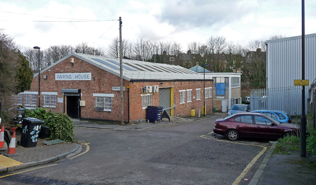
Image: © Stephen Richards Taken: 6 Feb 2013
A short cul-de-sac off Norwood High Street with nothing much except a couple of industrial buildings - Waring House, and Zephyr House beyond. Off to the left is an even shorter cul-de-sac, Dunkirk Street, which has virtually nothing except three houses opposite Waring House. The map suggests it may originally have continued north until it met Pilgrim Hill before being curtailed by the site now occupied by builders' merchants, Travis Perkins.
Images are licensed for reuse under creativecommons.org/licenses/by-sa/2.0
Image Location
Latitude
51.42999
Longitude
-0.100882