
Railway Path
Introduction
The photograph on this page of Railway Path by A-M-Jervis as part of the Geograph project.
The Geograph project started in 2005 with the aim of publishing, organising and preserving representative images for every square kilometre of Great Britain, Ireland and the Isle of Man.

There are currently over 7.5m images from over 14,400 individuals and you can help contribute to the project by visiting https://www.geograph.org.uk
Railway Path
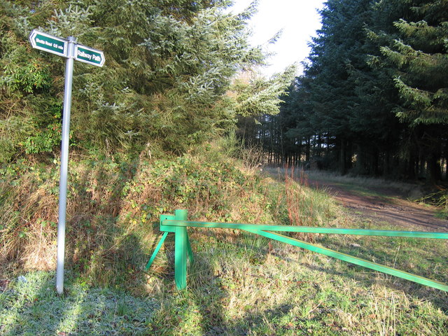
Image: © A-M-Jervis Taken: 17 Dec 2005
The Railway Path follows the alignment of a steeply-graded 19th-century private standard-gauge railway northwards through the woods and on to the edge of Fauldhouse Moor, where it served two large ironstone pits. The branch, which started near Fauldhouse North station, on the Edinburgh - Shotts - Glasgow line, was known as the Dixon's Pits Branch as the pits belonged to that well-known iromnaster with works (colloquially referred to as Dixon's Blazes after the flames from the blast furnaces) near Glasgow.
Images are licensed for reuse under creativecommons.org/licenses/by-sa/2.0
Image Location

Latitude
55.831166
Longitude
-3.708047