Beadman Street
Introduction
The photograph on this page of Beadman Street by Stephen Richards as part of the Geograph project.
The Geograph project started in 2005 with the aim of publishing, organising and preserving representative images for every square kilometre of Great Britain, Ireland and the Isle of Man.

There are currently over 7.5m images from over 14,400 individuals and you can help contribute to the project by visiting https://www.geograph.org.uk
Beadman Street
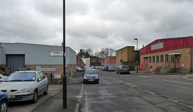
Image: © Stephen Richards Taken: 6 Feb 2013
A small light-industrial area south of the railway between Knight's Hill and Norwood High Street. Hobbys make model trade supplies - railways, dolls, cars etc - and have a showroom too. One of the buildings has been converted into a church, a far cry indeed from ecclesiastical tradition.
Images are licensed for reuse under creativecommons.org/licenses/by-sa/2.0
Image Location
Latitude
51.430025
Longitude
-0.103038