Cotswold Street
Introduction
The photograph on this page of Cotswold Street by Stephen Richards as part of the Geograph project.
The Geograph project started in 2005 with the aim of publishing, organising and preserving representative images for every square kilometre of Great Britain, Ireland and the Isle of Man.

There are currently over 7.5m images from over 14,400 individuals and you can help contribute to the project by visiting https://www.geograph.org.uk
Cotswold Street
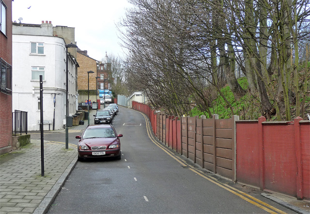
Image: © Stephen Richards Taken: 6 Feb 2013
Small one-way street connecting Knight's Hill (ahead) and Norwood High Street. Beyond the trees is the station.
Images are licensed for reuse under creativecommons.org/licenses/by-sa/2.0
Image Location
Latitude
51.431098
Longitude
-0.102706