Road to Nantyderry from Chain Bridge
Introduction
The photograph on this page of Road to Nantyderry from Chain Bridge by Jaggery as part of the Geograph project.
The Geograph project started in 2005 with the aim of publishing, organising and preserving representative images for every square kilometre of Great Britain, Ireland and the Isle of Man.

There are currently over 7.5m images from over 14,400 individuals and you can help contribute to the project by visiting https://www.geograph.org.uk
Road to Nantyderry from Chain Bridge
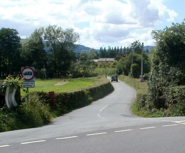
Image: © Jaggery Taken: 30 Jun 2011
Viewed across the B4598 on the NW side of this bridge. http://www.geograph.org.uk/photo/2821237 The road ahead is Chain Bridge Road. The sign on the left shows a weight restriction of 7.5 tonnes ahead, except for loading.
Images are licensed for reuse under creativecommons.org/licenses/by-sa/2.0
Image Location
Latitude
51.746043
Longitude
-2.952594