Fields at Kingwell
Introduction
The photograph on this page of Fields at Kingwell by Derek Harper as part of the Geograph project.
The Geograph project started in 2005 with the aim of publishing, organising and preserving representative images for every square kilometre of Great Britain, Ireland and the Isle of Man.

There are currently over 7.5m images from over 14,400 individuals and you can help contribute to the project by visiting https://www.geograph.org.uk
Fields at Kingwell
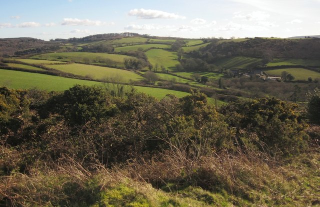
Image: © Derek Harper Taken: 2 Feb 2013
A view from Mardon Down, with South Kingwell the farm on the right beneath Hingston Down. The B3212 winds up to the left from near the farm, its line marked by groups of trees. Nearer is the lane that meets it from Doccombe Cross. In the foreground are gorse bushes near the southern edge of Mardon Down. On the horizon, left of centre, is Pepperdon Down.
Images are licensed for reuse under creativecommons.org/licenses/by-sa/2.0
Image Location
Latitude
50.664241
Longitude
-3.741729