Moss Side, Rixton
Introduction
The photograph on this page of Moss Side, Rixton by Keith Williamson as part of the Geograph project.
The Geograph project started in 2005 with the aim of publishing, organising and preserving representative images for every square kilometre of Great Britain, Ireland and the Isle of Man.

There are currently over 7.5m images from over 14,400 individuals and you can help contribute to the project by visiting https://www.geograph.org.uk
Moss Side, Rixton
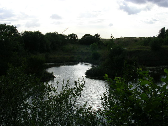
Image: © Keith Williamson Taken: 3 Aug 2005
The water bodies here have accumulated as a result of extraction of clay (as at Rixton Clay Pits nearby). A major use of land in this area is landfill tipping. A tip is visible on the horizon. Taken from SJ682915
Images are licensed for reuse under creativecommons.org/licenses/by-sa/2.0
Image Location


Leaflet Map data © OpenStreetMap
Latitude
53.419352
Longitude
-2.475434