Crossroads near Chain Bridge, Monmouthshire
Introduction
The photograph on this page of Crossroads near Chain Bridge, Monmouthshire by Jaggery as part of the Geograph project.
The Geograph project started in 2005 with the aim of publishing, organising and preserving representative images for every square kilometre of Great Britain, Ireland and the Isle of Man.

There are currently over 7.5m images from over 14,400 individuals and you can help contribute to the project by visiting https://www.geograph.org.uk
Crossroads near Chain Bridge, Monmouthshire
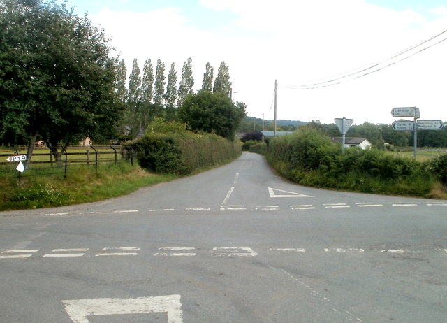
Image: © Jaggery Taken: 30 Jun 2011
Looking SE along Chain Bridge Road. This way also for Usk (4 miles). Turn left for Clytha and Raglan, or right for Penperlleni and Pontypool. The sign arm pointing towards the camera shows Nantyderry and Abergavenny.
Images are licensed for reuse under creativecommons.org/licenses/by-sa/2.0
Image Location
Latitude
51.746037
Longitude
-2.953318