Museum (former County Hall)
Introduction
The photograph on this page of Museum (former County Hall) by Roger Templeman as part of the Geograph project.
The Geograph project started in 2005 with the aim of publishing, organising and preserving representative images for every square kilometre of Great Britain, Ireland and the Isle of Man.

There are currently over 7.5m images from over 14,400 individuals and you can help contribute to the project by visiting https://www.geograph.org.uk
Museum (former County Hall)
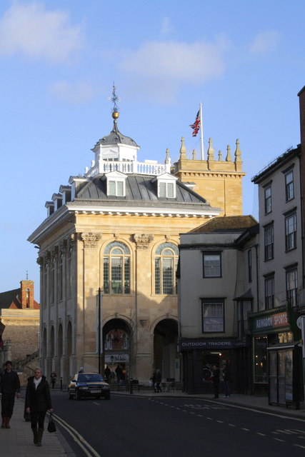
Image: © Roger Templeman Taken: 30 Jan 2013
The building is well-blessed with Ordnance Survey marks. The vane is an intersected station trig station, http://www.trigpointinguk.com/trigs/trig-details.php?t=9546, as is the flagstaff, http://www.trigpointinguk.com/trigs/trig-details.php?t=9545. There are also two cut mark benchmarks on the building, http://www.bench-marks.org.uk/bm22116 and http://www.bench-marks.org.uk/bm35661
Images are licensed for reuse under creativecommons.org/licenses/by-sa/2.0
Image Location


Leaflet Map data © OpenStreetMap
Latitude
51.669937
Longitude
-1.281575