Cossick Cross
Introduction
The photograph on this page of Cossick Cross by Derek Harper as part of the Geograph project.
The Geograph project started in 2005 with the aim of publishing, organising and preserving representative images for every square kilometre of Great Britain, Ireland and the Isle of Man.

There are currently over 7.5m images from over 14,400 individuals and you can help contribute to the project by visiting https://www.geograph.org.uk
Cossick Cross
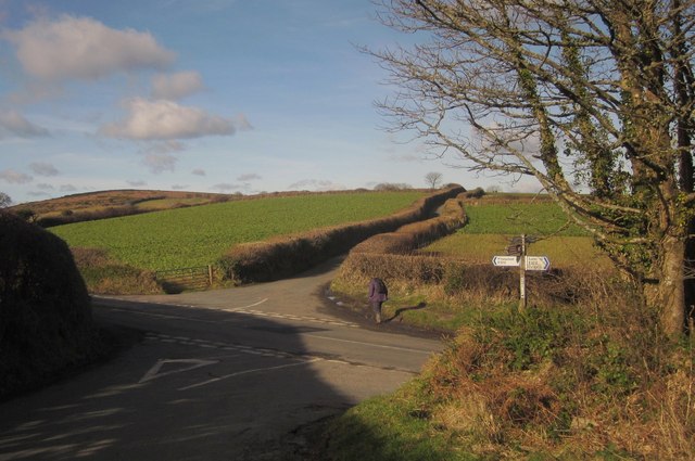
Image: © Derek Harper Taken: 2 Feb 2013
This junction at a col on the B3212 has recently become a popular subject http://www.geograph.org.uk/search.php?i=39609851 . The col is between the Doccombe valley and the Wray valley and the B road winds round many bends to reach it, somewhat in the manner of a mountain pass. Here, the lane from Pepperdon Down crosses it, continuing towards Mardon Down.
Images are licensed for reuse under creativecommons.org/licenses/by-sa/2.0
Image Location
Latitude
50.662072
Longitude
-3.736414