View towards Mardon Down
Introduction
The photograph on this page of View towards Mardon Down by Derek Harper as part of the Geograph project.
The Geograph project started in 2005 with the aim of publishing, organising and preserving representative images for every square kilometre of Great Britain, Ireland and the Isle of Man.

There are currently over 7.5m images from over 14,400 individuals and you can help contribute to the project by visiting https://www.geograph.org.uk
View towards Mardon Down
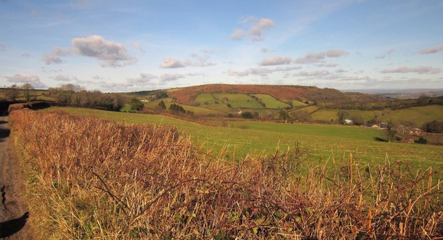
Image: © Derek Harper Taken: 2 Feb 2013
From the lane between Pepperdon Down and Cossick Cross, looking over Doccombe, with a pasture in the foreground. On the right is Cossick Cross.
Images are licensed for reuse under creativecommons.org/licenses/by-sa/2.0
Image Location
Latitude
50.659495
Longitude
-3.734338