Culvert for stream under Kennington Road
Introduction
The photograph on this page of Culvert for stream under Kennington Road by Roger Templeman as part of the Geograph project.
The Geograph project started in 2005 with the aim of publishing, organising and preserving representative images for every square kilometre of Great Britain, Ireland and the Isle of Man.

There are currently over 7.5m images from over 14,400 individuals and you can help contribute to the project by visiting https://www.geograph.org.uk
Culvert for stream under Kennington Road
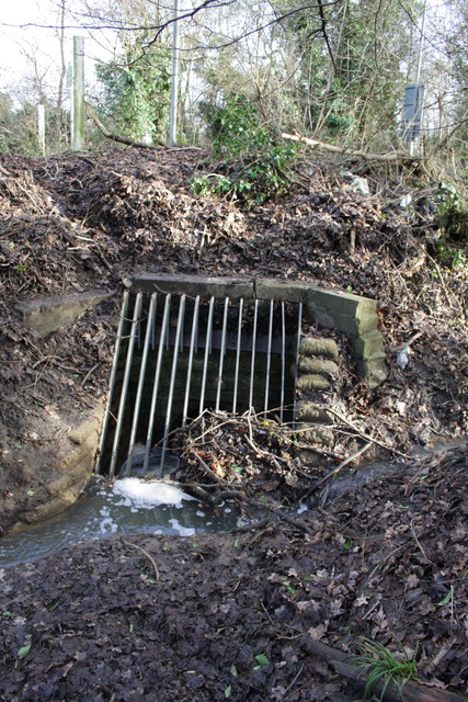
Image: © Roger Templeman Taken: 30 Jan 2013
The site is about 40m south of the Sandford Lane junction. In 1971 the Ordnance Survey verified a rivet benchmark on the top of the culvert but the structure has evidently been repaired since then with the loss of the mark.
Images are licensed for reuse under creativecommons.org/licenses/by-sa/2.0
Image Location
Latitude
51.705838
Longitude
-1.242802