Track to Pepperdon Farm
Introduction
The photograph on this page of Track to Pepperdon Farm by Derek Harper as part of the Geograph project.
The Geograph project started in 2005 with the aim of publishing, organising and preserving representative images for every square kilometre of Great Britain, Ireland and the Isle of Man.

There are currently over 7.5m images from over 14,400 individuals and you can help contribute to the project by visiting https://www.geograph.org.uk
Track to Pepperdon Farm
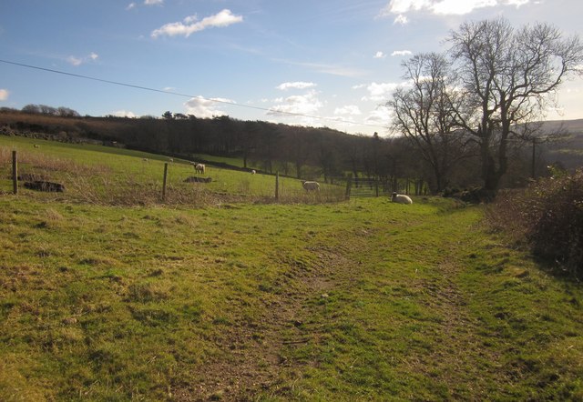
Image: © Derek Harper Taken: 2 Feb 2013
Not a right of way; seen from the stretch of Moretonhampstead Footpath 22 shown in Image The farm buildings are hidden in a dip.
Images are licensed for reuse under creativecommons.org/licenses/by-sa/2.0
Image Location
Latitude
50.655277
Longitude
-3.733758