The former Albion Public House, Stoke Newington
Introduction
The photograph on this page of The former Albion Public House, Stoke Newington by David Anstiss as part of the Geograph project.
The Geograph project started in 2005 with the aim of publishing, organising and preserving representative images for every square kilometre of Great Britain, Ireland and the Isle of Man.

There are currently over 7.5m images from over 14,400 individuals and you can help contribute to the project by visiting https://www.geograph.org.uk
The former Albion Public House, Stoke Newington
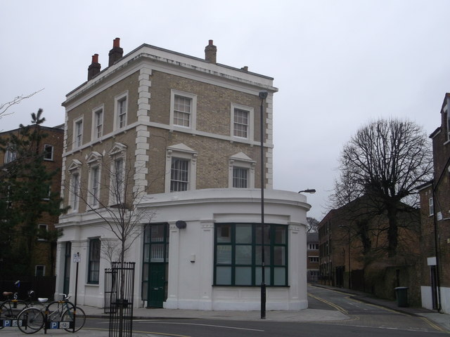
Image: © David Anstiss Taken: 3 Feb 2013
Grade II listed house on the junction of Clissold Road and Church Walk (on the right). See http://www.britishlistedbuildings.co.uk/en-423699-the-albion-public-house-greater-london-a for more details about the listed house.
Images are licensed for reuse under creativecommons.org/licenses/by-sa/2.0
Image Location
Latitude
51.557311
Longitude
-0.083465