Muddy tracks near Pepperdon Farm
Introduction
The photograph on this page of Muddy tracks near Pepperdon Farm by Derek Harper as part of the Geograph project.
The Geograph project started in 2005 with the aim of publishing, organising and preserving representative images for every square kilometre of Great Britain, Ireland and the Isle of Man.

There are currently over 7.5m images from over 14,400 individuals and you can help contribute to the project by visiting https://www.geograph.org.uk
Muddy tracks near Pepperdon Farm
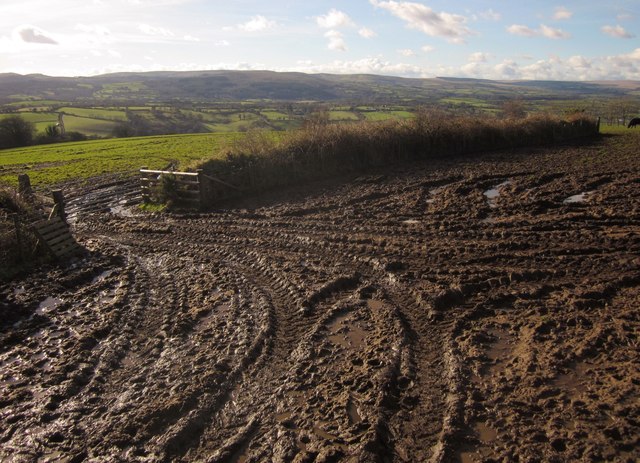
Image: © Derek Harper Taken: 2 Feb 2013
Taken from the same spot as Image], from the ladder stile on Moretonhampstead Footpath 22. The path to Steward Wood keeps to the right of the field boundary here, following it round to the left.
Images are licensed for reuse under creativecommons.org/licenses/by-sa/2.0
Image Location
Latitude
50.655331
Longitude
-3.736165