Countryside near Hayne, from Pepperdon
Introduction
The photograph on this page of Countryside near Hayne, from Pepperdon by Derek Harper as part of the Geograph project.
The Geograph project started in 2005 with the aim of publishing, organising and preserving representative images for every square kilometre of Great Britain, Ireland and the Isle of Man.

There are currently over 7.5m images from over 14,400 individuals and you can help contribute to the project by visiting https://www.geograph.org.uk
Countryside near Hayne, from Pepperdon
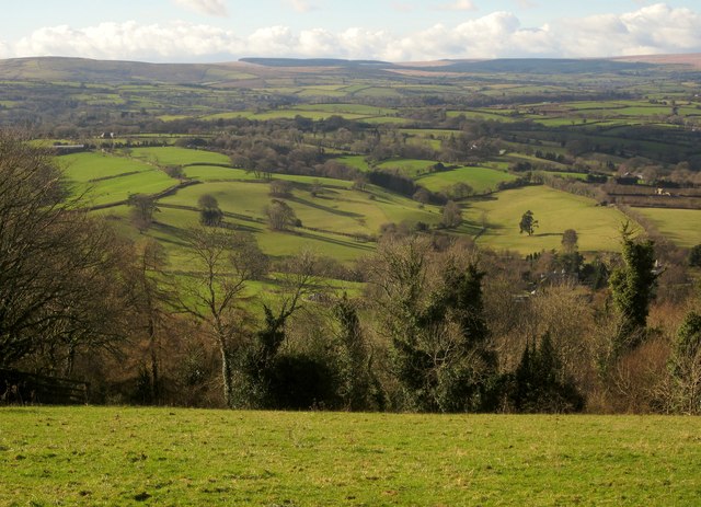
Image: © Derek Harper Taken: 2 Feb 2013
This overlaps with Image], but is on a greater zoom, and looks more to the left. The curving valley right of centre is a tributary valley of the Wray valley below. The barns at extreme left are near Steward Lodge, which is too small to be seen at this magnification. Dartmoor is on the horizon; Fernworthy Forest can be seen.
Images are licensed for reuse under creativecommons.org/licenses/by-sa/2.0
Image Location
Latitude
50.651403
Longitude
-3.75823