Stoke Heath
Introduction
The photograph on this page of Stoke Heath by Nigel Mykura as part of the Geograph project.
The Geograph project started in 2005 with the aim of publishing, organising and preserving representative images for every square kilometre of Great Britain, Ireland and the Isle of Man.

There are currently over 7.5m images from over 14,400 individuals and you can help contribute to the project by visiting https://www.geograph.org.uk
Stoke Heath
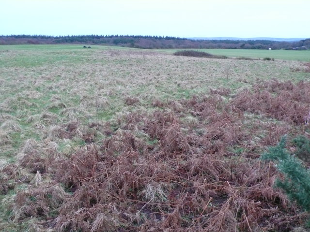
Image: © Nigel Mykura Taken: 1 Feb 2013
Most of the heath is rough pasture land such as this with bracken and furze bushes scattered about.
Images are licensed for reuse under creativecommons.org/licenses/by-sa/2.0
Image Location
Latitude
50.707993
Longitude
-2.217052