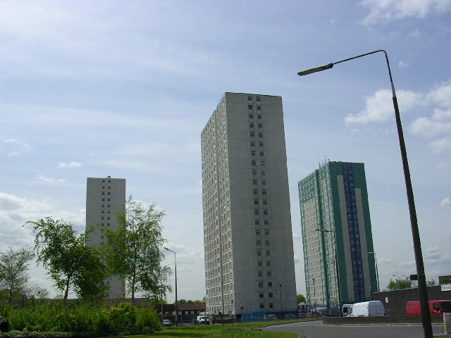
High Rise Flats, Pendleton, Salford
Introduction
The photograph on this page of High Rise Flats, Pendleton, Salford by Keith Williamson as part of the Geograph project.
The Geograph project started in 2005 with the aim of publishing, organising and preserving representative images for every square kilometre of Great Britain, Ireland and the Isle of Man.
There are currently over 7.5m images from over 14,400 individuals and you can help contribute to the project by visiting https://www.geograph.org.uk

Image: © Keith Williamson Taken: 11 May 2005
These flats are situated close to Pendleton Shopping Precinct, aka "Salford Shopping City". The flats and precinct were built in the 1960s during the slum clearances. The area used to be known as "Hanky Park" after a local street called Hankinson Street. A newer road here is named Hankinson Way to provide continuity with the past. Some of these high rise buildings have been demolished themselves since, as they provided unsatisfactory accommodation for families and generated as many social problems as they were meant to alleviate. Many that remain have become accommodation blocks for Salford University. The old Hanky Park developed from parkland in the 1800s with the arrival of industry to the area. In the space of a few years thousands of Salfordians crammed into this area of about 7 acres, living in 2 up/2 down terraced houses as families of 10 or more, with communal toilets, and no baths or running water.

