Sand and Gravel Pit
Introduction
The photograph on this page of Sand and Gravel Pit by Nigel Mykura as part of the Geograph project.
The Geograph project started in 2005 with the aim of publishing, organising and preserving representative images for every square kilometre of Great Britain, Ireland and the Isle of Man.

There are currently over 7.5m images from over 14,400 individuals and you can help contribute to the project by visiting https://www.geograph.org.uk
Sand and Gravel Pit
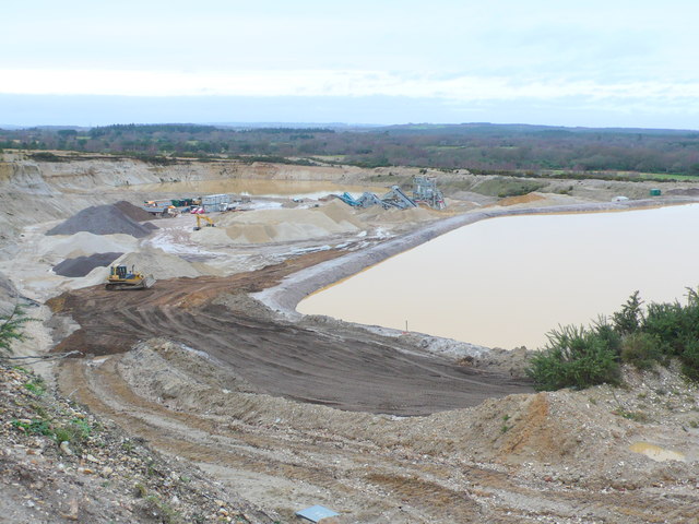
Image: © Nigel Mykura Taken: 1 Feb 2013
This is one of the larger of several sand and gravel quarries in the immediate vicinity extracting material that was deposited by large meltwater rivers across the south of England during the last ice age.
Images are licensed for reuse under creativecommons.org/licenses/by-sa/2.0
Image Location


Leaflet Map data © OpenStreetMap
Latitude
50.69771
Longitude
-2.183023