Cattle Grid on Higher Hyde Heath
Introduction
The photograph on this page of Cattle Grid on Higher Hyde Heath by Nigel Mykura as part of the Geograph project.
The Geograph project started in 2005 with the aim of publishing, organising and preserving representative images for every square kilometre of Great Britain, Ireland and the Isle of Man.

There are currently over 7.5m images from over 14,400 individuals and you can help contribute to the project by visiting https://www.geograph.org.uk
Cattle Grid on Higher Hyde Heath
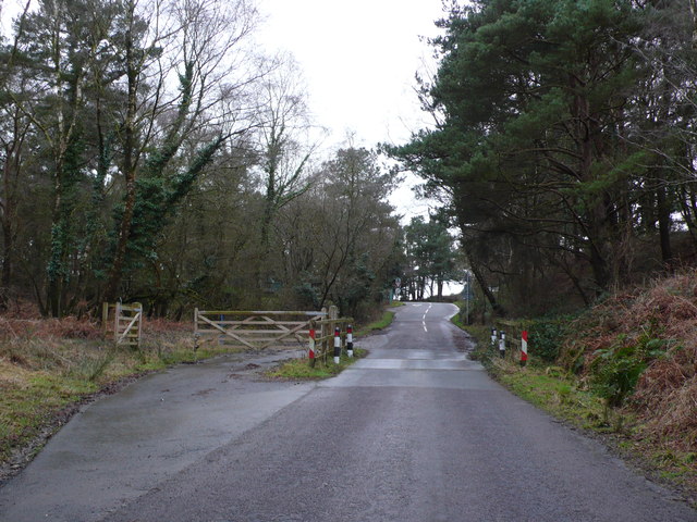
Image: © Nigel Mykura Taken: 1 Feb 2013
Many of the small roads on the heathland have cattle grids to reduce the movement of stock although none of the gates on any of the grids I went through were actually closed so they are actually used very little.
Images are licensed for reuse under creativecommons.org/licenses/by-sa/2.0
Image Location
Latitude
50.708373
Longitude
-2.206008