#101 The Avenue
Introduction
The photograph on this page of #101 The Avenue by Roger Templeman as part of the Geograph project.
The Geograph project started in 2005 with the aim of publishing, organising and preserving representative images for every square kilometre of Great Britain, Ireland and the Isle of Man.

There are currently over 7.5m images from over 14,400 individuals and you can help contribute to the project by visiting https://www.geograph.org.uk
#101 The Avenue
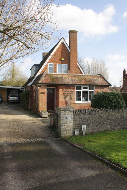
Image: © Roger Templeman Taken: 30 Jan 2013
The Ordnance Survey cut a benchmark on the side of the chimney in 1971 but this is now plastered over inside the house following the addition of the front extension. The mark was levelled at 65.3345m above mean sea level at Newlyn.
Images are licensed for reuse under creativecommons.org/licenses/by-sa/2.0
Image Location
Latitude
51.711779
Longitude
-1.24386