Lane at Steward Cottages
Introduction
The photograph on this page of Lane at Steward Cottages by Derek Harper as part of the Geograph project.
The Geograph project started in 2005 with the aim of publishing, organising and preserving representative images for every square kilometre of Great Britain, Ireland and the Isle of Man.

There are currently over 7.5m images from over 14,400 individuals and you can help contribute to the project by visiting https://www.geograph.org.uk
Lane at Steward Cottages
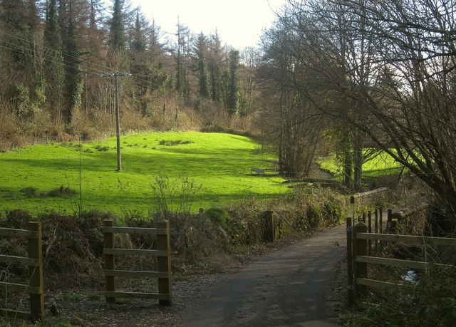
Image: © Derek Harper Taken: 2 Feb 2013
Dropping down from the line of the old railway to meet the A382, with the Wray Brook among trees on the right and a meadow on the left below Steward Wood. Plenty of ivy on those trees. The track provides access to residents' parking at the current eastern end of the Wray Valley Trail, and to Steward Wood for authorised vehicles.
Images are licensed for reuse under creativecommons.org/licenses/by-sa/2.0
Image Location
Latitude
50.653636
Longitude
-3.747279