Water in the Furrow
Introduction
The photograph on this page of Water in the Furrow by Des Blenkinsopp as part of the Geograph project.
The Geograph project started in 2005 with the aim of publishing, organising and preserving representative images for every square kilometre of Great Britain, Ireland and the Isle of Man.

There are currently over 7.5m images from over 14,400 individuals and you can help contribute to the project by visiting https://www.geograph.org.uk
Water in the Furrow
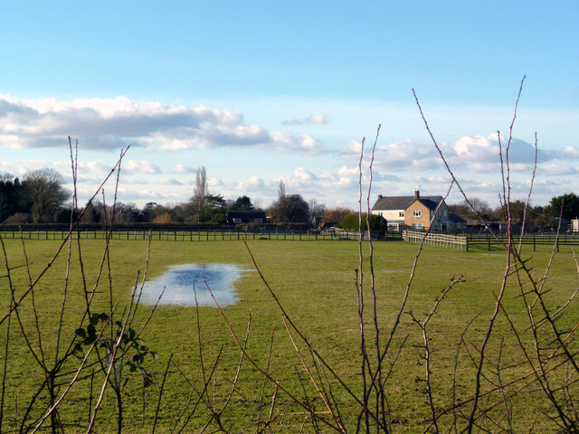
Image: © Des Blenkinsopp Taken: 2 Feb 2013
The remains of old ridge and furrow cultivation are very faint in this field near Postcombe, but there is still enough undulation for water to collect.
Images are licensed for reuse under creativecommons.org/licenses/by-sa/2.0
Image Location
Latitude
51.692102
Longitude
-0.973068