Wray Valley Trail
Introduction
The photograph on this page of Wray Valley Trail by Derek Harper as part of the Geograph project.
The Geograph project started in 2005 with the aim of publishing, organising and preserving representative images for every square kilometre of Great Britain, Ireland and the Isle of Man.

There are currently over 7.5m images from over 14,400 individuals and you can help contribute to the project by visiting https://www.geograph.org.uk
Wray Valley Trail
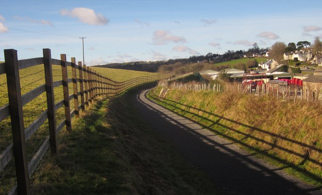
Image: © Derek Harper Taken: 2 Feb 2013
The trail has climbed a track to a bank overlooking the former Moretonhampstead station, now occupied by Image], and now more or less follows the contour towards Brinning Lane.
Images are licensed for reuse under creativecommons.org/licenses/by-sa/2.0
Image Location
Latitude
50.656988
Longitude
-3.75759