Benchmark facing the path
Introduction
The photograph on this page of Benchmark facing the path by Neil Owen as part of the Geograph project.
The Geograph project started in 2005 with the aim of publishing, organising and preserving representative images for every square kilometre of Great Britain, Ireland and the Isle of Man.

There are currently over 7.5m images from over 14,400 individuals and you can help contribute to the project by visiting https://www.geograph.org.uk
Benchmark facing the path
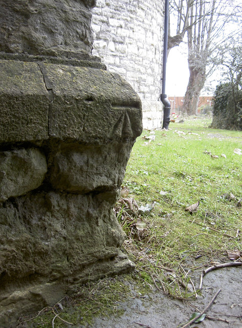
Image: © Neil Owen Taken: 4 Feb 2013
A benchmark, as listed in the Benchmark Database: http://www.bench-marks.org.uk/bm47097 , on St Peter's church, Bishopsworth. Presumably it was a more open area when it was cut, but now it is in the shadows thanks to some dense hedging opposite it. See Image] for more views of the old church.
Images are licensed for reuse under creativecommons.org/licenses/by-sa/2.0
Image Location
Latitude
51.415322
Longitude
-2.618705