Cyclepath near Moretonhampstead
Introduction
The photograph on this page of Cyclepath near Moretonhampstead by Derek Harper as part of the Geograph project.
The Geograph project started in 2005 with the aim of publishing, organising and preserving representative images for every square kilometre of Great Britain, Ireland and the Isle of Man.

There are currently over 7.5m images from over 14,400 individuals and you can help contribute to the project by visiting https://www.geograph.org.uk
Cyclepath near Moretonhampstead
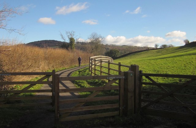
Image: © Derek Harper Taken: 2 Feb 2013
A new cycle way begins here at Brinning Lane, joining the line of the former railway just below the site of Moretonhampstead station, and called the Wray Valley Trail. Its current length is scarcely a mile, but one hopes it will be the start of something much longer. Work is currently underway on a stretch of the trail at Bovey Tracey.
Images are licensed for reuse under creativecommons.org/licenses/by-sa/2.0
Image Location
Latitude
50.656511
Longitude
-3.765353