Shroton, church hall
Introduction
The photograph on this page of Shroton, church hall by Mike Faherty as part of the Geograph project.
The Geograph project started in 2005 with the aim of publishing, organising and preserving representative images for every square kilometre of Great Britain, Ireland and the Isle of Man.

There are currently over 7.5m images from over 14,400 individuals and you can help contribute to the project by visiting https://www.geograph.org.uk
Shroton, church hall
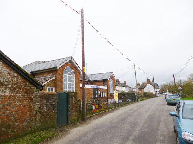
Image: © Mike Faherty Taken: 3 Feb 2013
Elizabeth Freke Hall, on Main Street; according to plaques, originally the village school, 1851.
Images are licensed for reuse under creativecommons.org/licenses/by-sa/2.0
Image Location
Latitude
50.912423
Longitude
-2.20065