Eastern edge of Wootton Bassett junction, Royal Wootton Bassett
Introduction
The photograph on this page of Eastern edge of Wootton Bassett junction, Royal Wootton Bassett by Jaggery as part of the Geograph project.
The Geograph project started in 2005 with the aim of publishing, organising and preserving representative images for every square kilometre of Great Britain, Ireland and the Isle of Man.

There are currently over 7.5m images from over 14,400 individuals and you can help contribute to the project by visiting https://www.geograph.org.uk
Eastern edge of Wootton Bassett junction, Royal Wootton Bassett
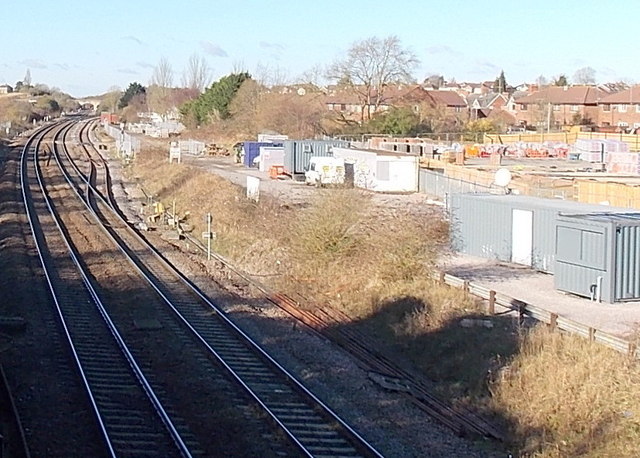
Image: © Jaggery Taken: 2 Feb 2013
View from a footbridge http://www.geograph.org.uk/photo/3319868 looking towards Skew Bridge. This is the junction of the line from Bristol via Bath and Chippenham on the left and the line from South Wales via Bristol Parkway on the right.
Images are licensed for reuse under creativecommons.org/licenses/by-sa/2.0
Image Location
Latitude
51.535157
Longitude
-1.905519