The Crown & Thistle, Headington
Introduction
The photograph on this page of The Crown & Thistle, Headington by Des Blenkinsopp as part of the Geograph project.
The Geograph project started in 2005 with the aim of publishing, organising and preserving representative images for every square kilometre of Great Britain, Ireland and the Isle of Man.

There are currently over 7.5m images from over 14,400 individuals and you can help contribute to the project by visiting https://www.geograph.org.uk
The Crown & Thistle, Headington
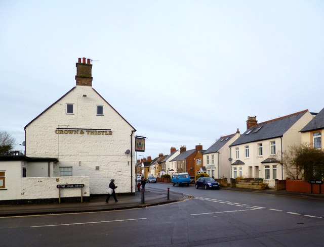
Image: © Des Blenkinsopp Taken: 28 Jan 2013
A former Morrells of Oxford pub, latterly in the ubiquitous Greene King empire. Fronting onto Old Road, at one time the main Oxford - London road, the pub is at the junction with quaintly named Titup Hall Drive. This street was named after an older coaching inn on the same site. History doesn't relate how this name came about, but lots of other things and old pictures are on this page from the Headington history website:- http://www.headington.org.uk/history/pubs/crown_thistle.htm
Images are licensed for reuse under creativecommons.org/licenses/by-sa/2.0
Image Location
Latitude
51.753223
Longitude
-1.202171