The junction of Coat Burn and Huntly Burn at Darnick
Introduction
The photograph on this page of The junction of Coat Burn and Huntly Burn at Darnick by Walter Baxter as part of the Geograph project.
The Geograph project started in 2005 with the aim of publishing, organising and preserving representative images for every square kilometre of Great Britain, Ireland and the Isle of Man.

There are currently over 7.5m images from over 14,400 individuals and you can help contribute to the project by visiting https://www.geograph.org.uk
The junction of Coat Burn and Huntly Burn at Darnick
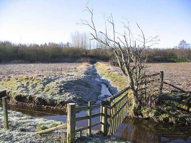
Image: © Walter Baxter Taken: 6 Feb 2007
In this view, Huntly Burn runs in from the left with Coat Burn running diagonally across the field to join Huntly Burn at the gate. This field at Darnick was the subject of much debate recently when a local developer planned to build houses on the site. This is on hold for the moment after opposition from villagers to the proposals.
Images are licensed for reuse under creativecommons.org/licenses/by-sa/2.0
Image Location


Leaflet Map data © OpenStreetMap
Latitude
55.598281
Longitude
-2.740597