Hillside at Liggetcheek
Introduction
The photograph on this page of Hillside at Liggetcheek by Oliver Dixon as part of the Geograph project.
The Geograph project started in 2005 with the aim of publishing, organising and preserving representative images for every square kilometre of Great Britain, Ireland and the Isle of Man.

There are currently over 7.5m images from over 14,400 individuals and you can help contribute to the project by visiting https://www.geograph.org.uk
Hillside at Liggetcheek
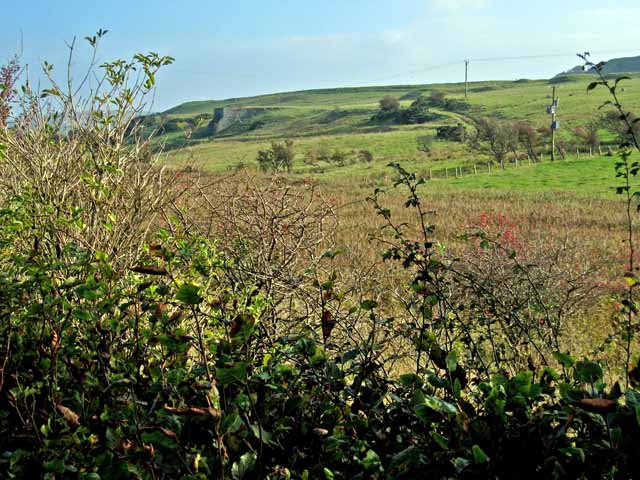
Image: © Oliver Dixon Taken: 15 Oct 2006
Not sure what the structure to the left in the middle distance is - possibly a limekiln. Knockdollan Hill on the skyline at the extreme right.
Images are licensed for reuse under creativecommons.org/licenses/by-sa/2.0
Image Location
Latitude
55.128939
Longitude
-4.960037