Coronation Street, Barry
Introduction
The photograph on this page of Coronation Street, Barry by Jaggery as part of the Geograph project.
The Geograph project started in 2005 with the aim of publishing, organising and preserving representative images for every square kilometre of Great Britain, Ireland and the Isle of Man.

There are currently over 7.5m images from over 14,400 individuals and you can help contribute to the project by visiting https://www.geograph.org.uk
Coronation Street, Barry
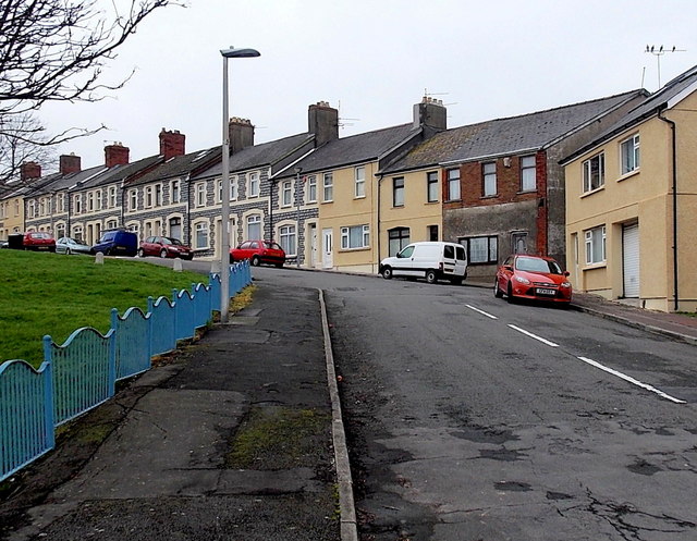
Image: © Jaggery Taken: 6 Jan 2013
Originally named Sydenham Street, Coronation Street bends away from Dock View Road. The street was renamed after it won the award for the best dressed street in Barry during the King George VI coronation celebrations in the spring of 1937.
Images are licensed for reuse under creativecommons.org/licenses/by-sa/2.0
Image Location
Latitude
51.403288
Longitude
-3.265471