Stone heapstead, New Sovereign Colliery
Introduction
The photograph on this page of Stone heapstead, New Sovereign Colliery by Christine Johnstone as part of the Geograph project.
The Geograph project started in 2005 with the aim of publishing, organising and preserving representative images for every square kilometre of Great Britain, Ireland and the Isle of Man.

There are currently over 7.5m images from over 14,400 individuals and you can help contribute to the project by visiting https://www.geograph.org.uk
Stone heapstead, New Sovereign Colliery
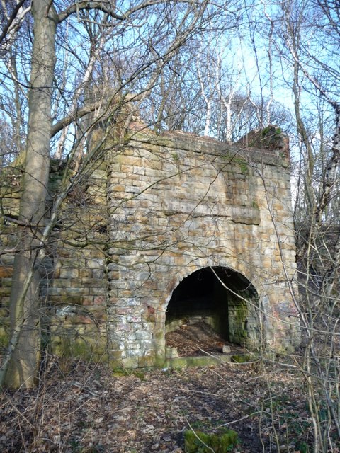
Image: © Christine Johnstone Taken: 2 Feb 2013
Built 1861-6. Identified through http://www.ukminingremains.co.uk/#/sovereign-collieries/4554157268 . 'Heapstead' means the buildings at the surface of a mine.
Images are licensed for reuse under creativecommons.org/licenses/by-sa/2.0
Image Location
Latitude
53.533538
Longitude
-1.531961