Bristol : Clarence Road
Introduction
The photograph on this page of Bristol : Clarence Road by Lewis Clarke as part of the Geograph project.
The Geograph project started in 2005 with the aim of publishing, organising and preserving representative images for every square kilometre of Great Britain, Ireland and the Isle of Man.

There are currently over 7.5m images from over 14,400 individuals and you can help contribute to the project by visiting https://www.geograph.org.uk
Bristol : Clarence Road
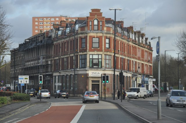
Image: © Lewis Clarke Taken: 1 Feb 2013
Clarence Road which is about to split into two at the building used for YMCA training.
Images are licensed for reuse under creativecommons.org/licenses/by-sa/2.0
Image Location
Latitude
51.457894
Longitude
-2.575237