Farmhouse redevelopment at Bishton
Introduction
The photograph on this page of Farmhouse redevelopment at Bishton by Jeremy Bolwell as part of the Geograph project.
The Geograph project started in 2005 with the aim of publishing, organising and preserving representative images for every square kilometre of Great Britain, Ireland and the Isle of Man.

There are currently over 7.5m images from over 14,400 individuals and you can help contribute to the project by visiting https://www.geograph.org.uk
Farmhouse redevelopment at Bishton
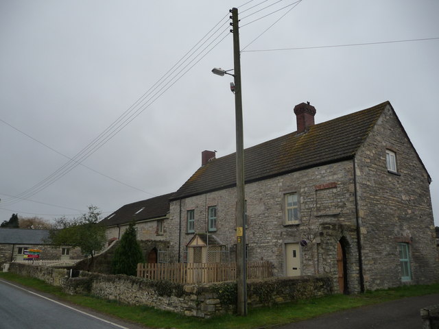
Image: © Jeremy Bolwell Taken: 3 Feb 2013
This large old farmhouse has been split into smaller units and sold off.
Images are licensed for reuse under creativecommons.org/licenses/by-sa/2.0
Image Location


Leaflet Map data © OpenStreetMap
Latitude
51.581513
Longitude
-2.88175