Farmland above the Leadon Valley
Introduction
The photograph on this page of Farmland above the Leadon Valley by Philip Halling as part of the Geograph project.
The Geograph project started in 2005 with the aim of publishing, organising and preserving representative images for every square kilometre of Great Britain, Ireland and the Isle of Man.

There are currently over 7.5m images from over 14,400 individuals and you can help contribute to the project by visiting https://www.geograph.org.uk
Farmland above the Leadon Valley
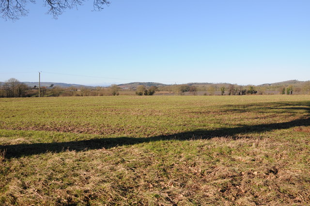
Image: © Philip Halling Taken: 2 Feb 2013
View across Herefordshire farmland above the Leadon valley to the south of Bosbury.
Images are licensed for reuse under creativecommons.org/licenses/by-sa/2.0
Image Location
Latitude
52.081289
Longitude
-2.441234