Military Access Point, Bovington Training Areas
Introduction
The photograph on this page of Military Access Point, Bovington Training Areas by Nigel Mykura as part of the Geograph project.
The Geograph project started in 2005 with the aim of publishing, organising and preserving representative images for every square kilometre of Great Britain, Ireland and the Isle of Man.

There are currently over 7.5m images from over 14,400 individuals and you can help contribute to the project by visiting https://www.geograph.org.uk
Military Access Point, Bovington Training Areas
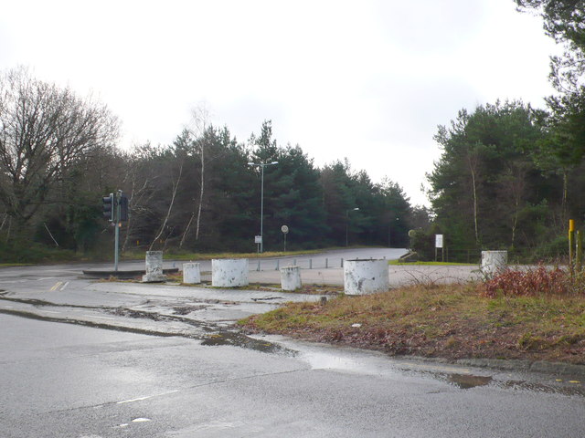
Image: © Nigel Mykura Taken: 1 Feb 2013
This is one of the main entrances to a tank training area to the north west of Bovington Camp
Images are licensed for reuse under creativecommons.org/licenses/by-sa/2.0
Image Location


Leaflet Map data © OpenStreetMap
Latitude
50.706682
Longitude
-2.243387