The 'Up and Over route'
Introduction
The photograph on this page of The 'Up and Over route' by Christine Johnstone as part of the Geograph project.
The Geograph project started in 2005 with the aim of publishing, organising and preserving representative images for every square kilometre of Great Britain, Ireland and the Isle of Man.

There are currently over 7.5m images from over 14,400 individuals and you can help contribute to the project by visiting https://www.geograph.org.uk
The 'Up and Over route'
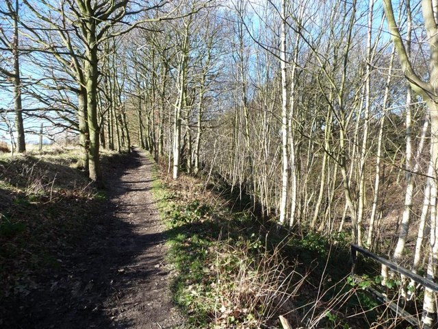
Image: © Christine Johnstone Taken: 2 Feb 2013
The Trans Pennine and Dove Valley trails climbing up the edge of a former railway cutting, south of Silkstone Common.
Images are licensed for reuse under creativecommons.org/licenses/by-sa/2.0
Image Location
Latitude
53.532398
Longitude
-1.563354