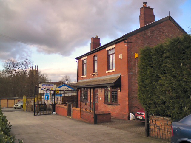
Kirkley House
Introduction
The photograph on this page of Kirkley House by Gerald England as part of the Geograph project.
The Geograph project started in 2005 with the aim of publishing, organising and preserving representative images for every square kilometre of Great Britain, Ireland and the Isle of Man.
There are currently over 7.5m images from over 14,400 individuals and you can help contribute to the project by visiting https://www.geograph.org.uk

Image: © Gerald England Taken: 2 Feb 2013
House on Kirkley Street. A map from 1874 shows Kirkley House as a rather grand detached house in its own grounds roughly where Higher Henry Street is now. On an 1897 map, Kirkley Hat Works is shown between Higher Henry Street, Thornley Street and Swain Street (now Dowson Road). McKenzie's auto repairs is now at the end of Kirkley Street. This used to be Norwood's wood yard and one could walk through it onto Church View but it is now blocked off by the garage. Acknowledgement to the Hyde Cheshire blog http://hydonian.blogspot.co.uk/2013/01/kirkley-house.html for some of this information.

