Towards Spondon
Introduction
The photograph on this page of Towards Spondon by John Sutton as part of the Geograph project.
The Geograph project started in 2005 with the aim of publishing, organising and preserving representative images for every square kilometre of Great Britain, Ireland and the Isle of Man.

There are currently over 7.5m images from over 14,400 individuals and you can help contribute to the project by visiting https://www.geograph.org.uk
Towards Spondon
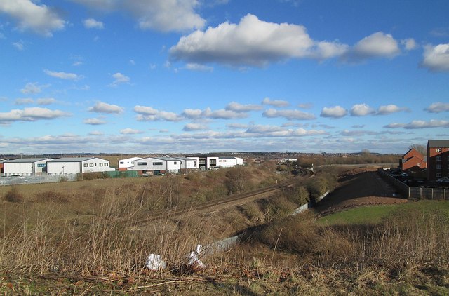
Image: © John Sutton Taken: 2 Feb 2013
A view towards Spondon from Pride Parkway. The railway is the main line to St Pancras via Leicester, and to Nottingham and Lincoln. Spondon church spire is on the skyline. The largely derelict Pride Park area was developed in the 1990s and the commercial and residential buildings either side of the railway are recent.
Images are licensed for reuse under creativecommons.org/licenses/by-sa/2.0
Image Location
Latitude
52.910135
Longitude
-1.443389