Side view of St Dominic's RC church, Dursley
Introduction
The photograph on this page of Side view of St Dominic's RC church, Dursley by Jaggery as part of the Geograph project.
The Geograph project started in 2005 with the aim of publishing, organising and preserving representative images for every square kilometre of Great Britain, Ireland and the Isle of Man.

There are currently over 7.5m images from over 14,400 individuals and you can help contribute to the project by visiting https://www.geograph.org.uk
Side view of St Dominic's RC church, Dursley
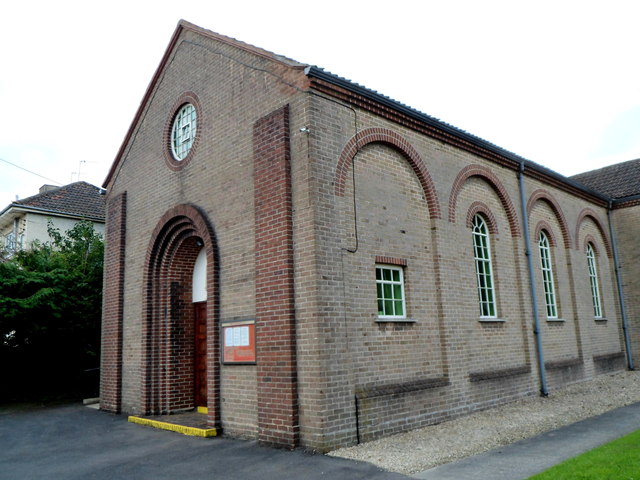
Image: © Jaggery Taken: 21 Jul 2012
The Roman Catholic church is on the corner of Lawrence Grove and Jubilee Road. It opened in February 1939, dedicated to St Dominic in recognition of the work of the Dominican friars in the area.
Images are licensed for reuse under creativecommons.org/licenses/by-sa/2.0
Image Location
Latitude
51.688295
Longitude
-2.362612