A3078 in Reskivers
Introduction
The photograph on this page of A3078 in Reskivers by David Smith as part of the Geograph project.
The Geograph project started in 2005 with the aim of publishing, organising and preserving representative images for every square kilometre of Great Britain, Ireland and the Isle of Man.

There are currently over 7.5m images from over 14,400 individuals and you can help contribute to the project by visiting https://www.geograph.org.uk
A3078 in Reskivers
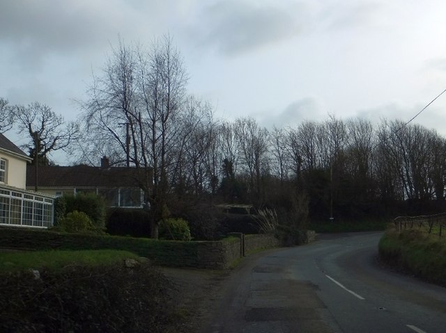
Image: © David Smith Taken: 31 Jan 2013
Reskivers is the name of a small settlement to the south of Tregony
Images are licensed for reuse under creativecommons.org/licenses/by-sa/2.0
Image Location
Latitude
50.260016
Longitude
-4.91494