River Trent
Introduction
The photograph on this page of River Trent by Richard Croft as part of the Geograph project.
The Geograph project started in 2005 with the aim of publishing, organising and preserving representative images for every square kilometre of Great Britain, Ireland and the Isle of Man.

There are currently over 7.5m images from over 14,400 individuals and you can help contribute to the project by visiting https://www.geograph.org.uk
River Trent
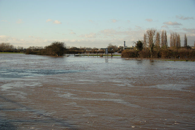
Image: © Richard Croft Taken: 28 Nov 2012
Trent floodwaters seen from the Wharf near The White House
Images are licensed for reuse under creativecommons.org/licenses/by-sa/2.0
Image Location
Latitude
53.072985
Longitude
-0.821712