Former shop at Humberston
Introduction
The photograph on this page of Former shop at Humberston by Chris as part of the Geograph project.
The Geograph project started in 2005 with the aim of publishing, organising and preserving representative images for every square kilometre of Great Britain, Ireland and the Isle of Man.

There are currently over 7.5m images from over 14,400 individuals and you can help contribute to the project by visiting https://www.geograph.org.uk
Former shop at Humberston
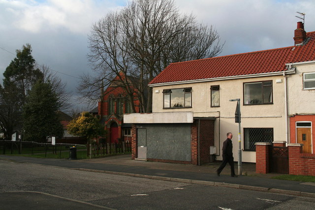
Image: © Chris Taken: 1 Feb 2013
Not much has changed over the years at the Methodist Church next door (see Image), but the former shop would be converted to a domestic dwelling soon after this picture was taken.
Images are licensed for reuse under creativecommons.org/licenses/by-sa/2.0
Image Location
Latitude
53.527789
Longitude
-0.026581